
LEONHARD FARM
Beginning at the footbridge over Mosquito Brook at Reynolds Field, a mile of trails traverse these woods and wetlands along Johnson St.
WALKING TIME 45 MINUTES
SIZE 130 ACRES
OWNER PRIVATELY-OWNED (CONSERVATION RESTRICTION HELD BY ESSEX COUNTY GREENBELT)
MILES OF TRAILS 1


The trail begins at the trail sign at the Bruin Hill Road cul-de-sac. Park along the cul-de-sac, but take care not to block the hydrant.
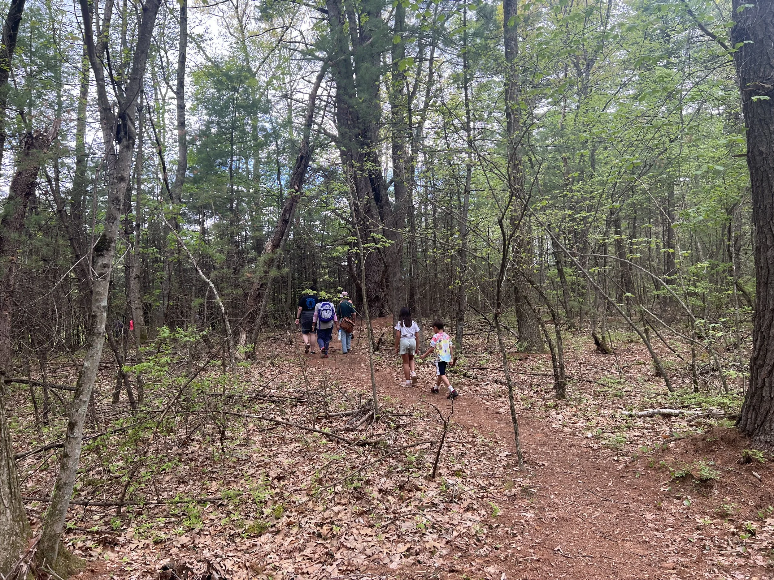
After crossing the underground gas pipeline right-of-way, the trail enters the woods, making a mile-long loop through North Andover and Boxford.
As you walk along the loop, look for two granite town boundary markers likely dating to the the early 1800s. The markers are inscribed with a A on one side (for Andover) and a B on the other (for Boxford). This side of Andover became North Andover in 1855.
A CONSERVATION RESTRICTION
When it came time to decide the fate of their family land, the Leonhard family chose a conservation restriction (CR). Called a conservation easement in some states, a CR allows a property owners to maintain ownership of their land, but sell the development rights, protecting the land in perpetuity.
Typically, the restriction is held by a town or a conservation organization. The CR’s deed dictates allowed uses for the land, and often includes public trail access. As you hike at Leonhard Farm, be sure to stay on marked trails and respect any signs posted by the property owners.
FLORA AND FAUNA
The property consists of typical New England forest of oak, maple and pine. Some large white pines can be seen along the trail.
HISTORY
The farmhouse on Dale St was known for being home to the Hubbard Elm. Said to be the largest, tallest and oldest elm tree in Massachusetts, it blew down in a storm in 1924.